Start planning your journeys in London with these essential tools and guides. Find maps, apps and practical tools to help you navigate London and get from A to B with ease.


Find the maps, apps and practical guides you need to plan your travel in London. From Tube maps to journey planners, travel apps and attraction maps, this page brings together the key tools to help you organise your journeys. Explore different areas and make the most of your trip with these essential resources. For a complete overview of transport options, visit our guide to getting around London.
Getting into London
Find the best way to get from London’s airports and arrival points into the city centre.


Exploring London once you arrive
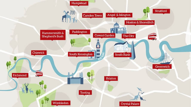
Use maps, apps and area guides to explore London’s attractions and neighbourhoods. These tools make it easier to find your way and discover what’s nearby.


Accessible travel in London
Find accessible routes and travel options to help make getting around London easier for everyone.